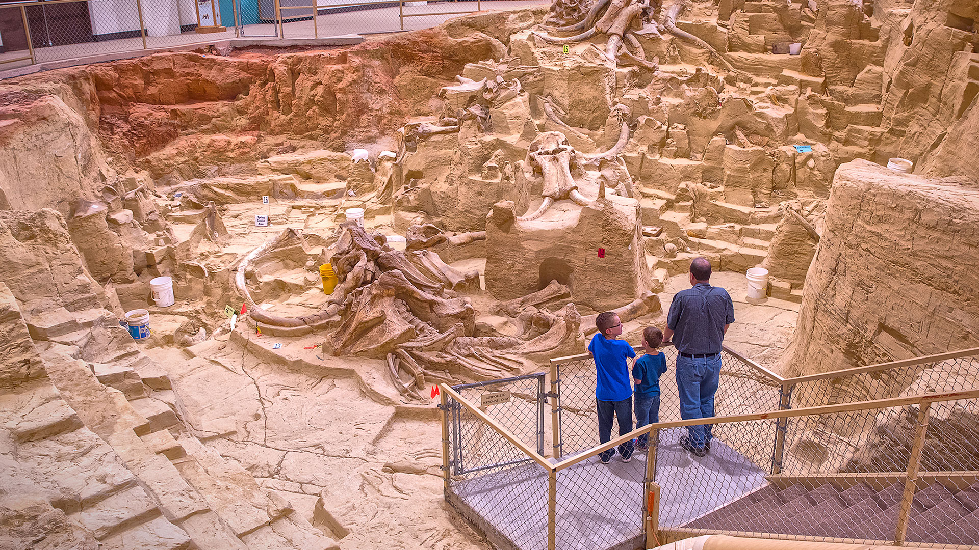
The Mammoth Site 1-Day1/2-Day2-Day3-DayArts/MuseumsAttractionsCultureFacts (Local/State)FamilyFamily AttractionsHistoryHot SpringsItineraryLandmarksLearnMuseumsPlanSee & DoTowns/Communities
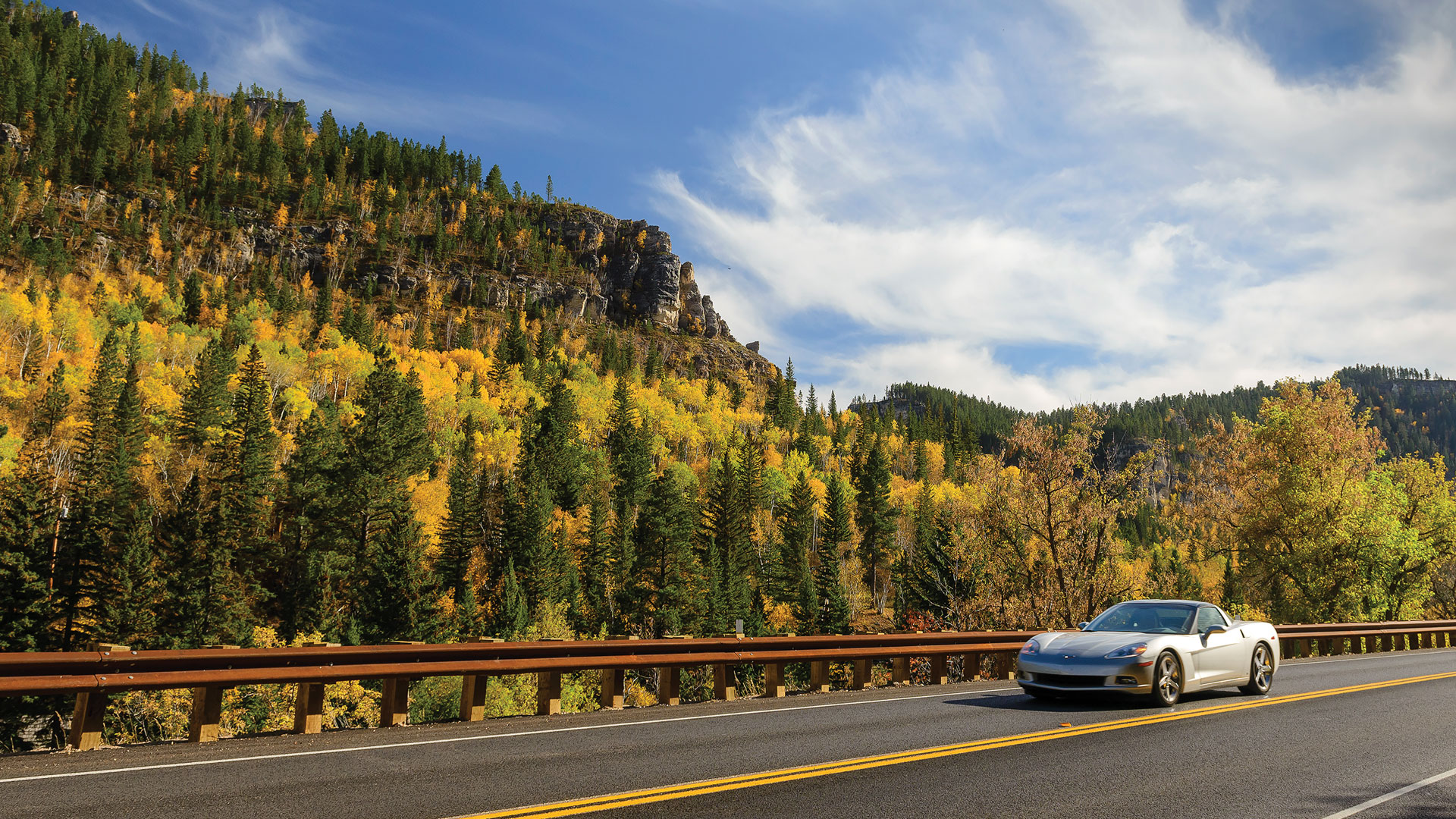
The Wonders of Spearfish Canyon AdventureCavesFamilyFamily AttractionsItineraryNature/OutdoorsParksSee & DoSpearfishTowns/CommunitiesTrailTrail-heads
Visit Rapid City AttractionsCar ShowsCounty FairEventsFamilyFamily AttractionsFamily EventsItineraryMuseumsPow WowRapid CityRodeoSee & DoTowns/Communities
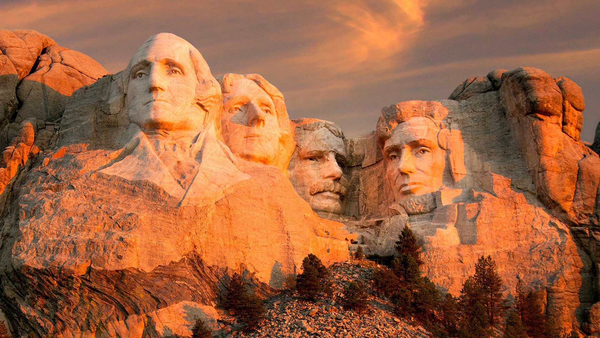
Black Hills Wildlife Photography 1-Day2-Day3-DayAdventureAttractionsBadlandsBear ButteBlack ElkClimbCusterCuster State ParkFacts (Local/State)FamilyHistoryItineraryItineraryKeystoneLakesLearnMt. RushmoreNature/OutdoorsOthers (Outliers)ParksPlanResourcesSee & DoTown/Community HistoryTowns/CommunitiesTrailTrail-heads